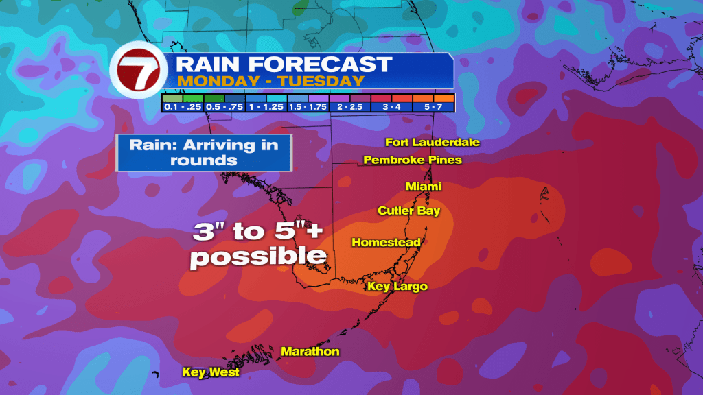
A stalled front will keep rain chances elevated as tropical moisture continues to get pumped across the region. This is will make for a wet pattern ahead. Therefore, heavy rainfall in rounds possible through Tuesday and flooding is likely in some areas.
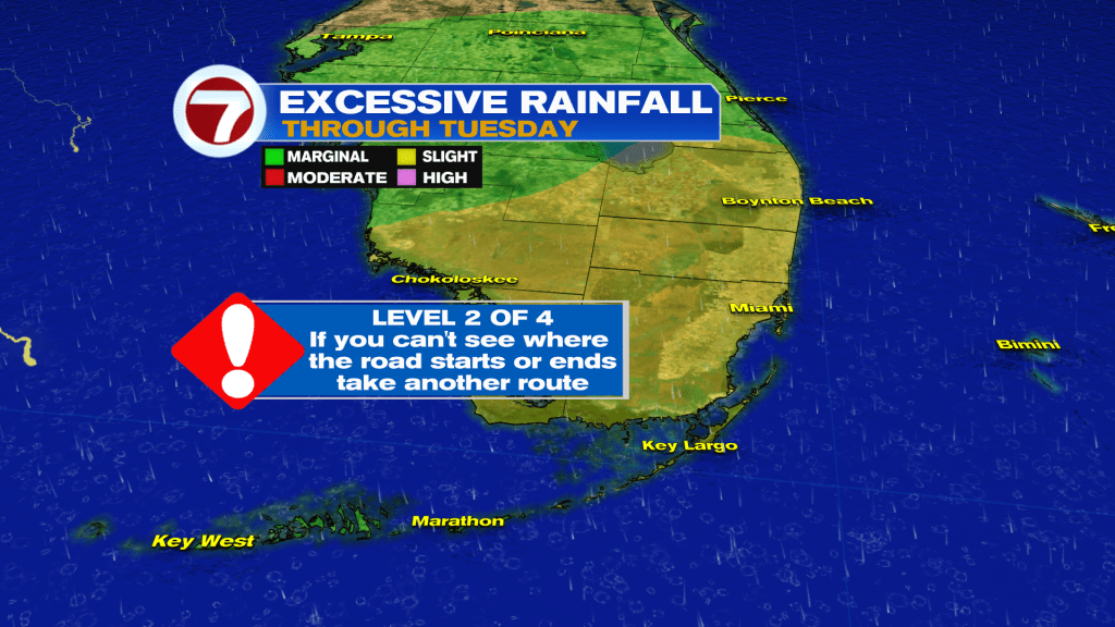
Models calling between 3 to 5 inches of rain with isolated higher amounts possible.
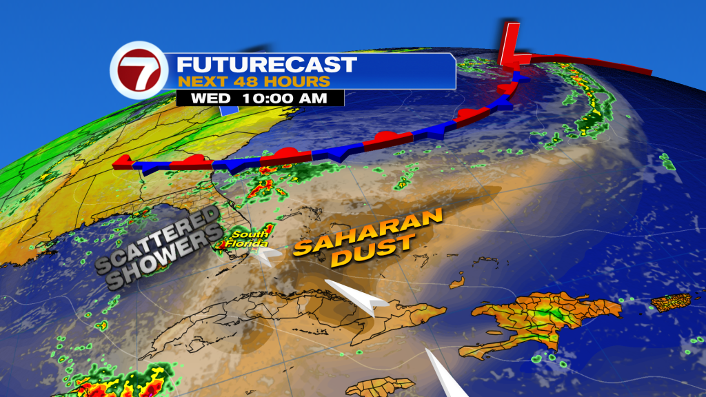
The first significant plume of Saharan Dust this season is set to arrive mid to late week and that should knock rain chances down a little. However, it will not be completely dry. Scattered showers and storms still possible, but favoring inland locations as an onshore flow returns.
Today in the Tropics
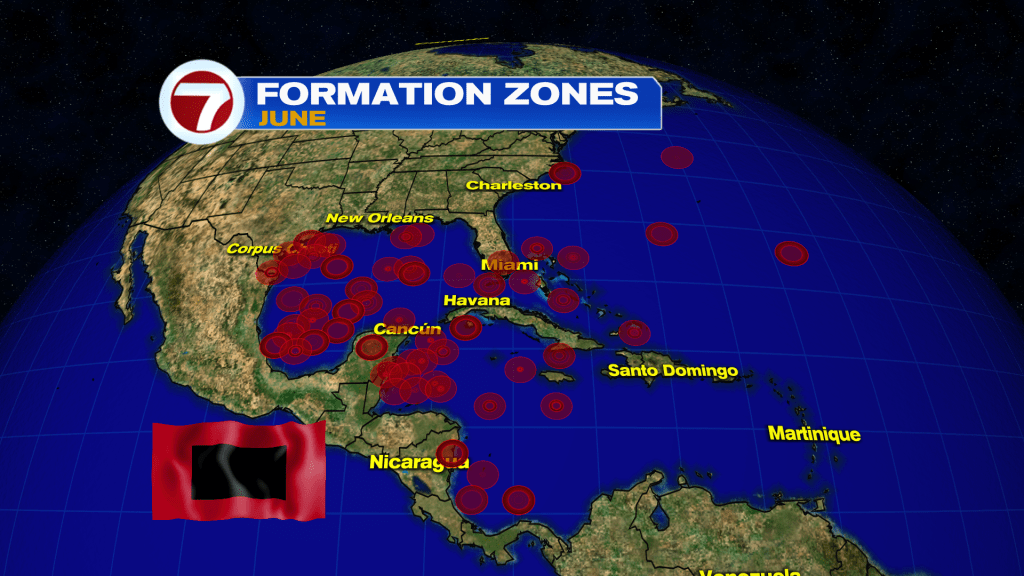
The 2025 Atlantic Hurricane Season started yesterday and we are not following any areas for developed at this time.

Typically in the month of June, tropical development is more likely in the Western Caribbean, Gulf and off the Southeast coast of the U.S. in the Western Atlantic. These are considered hotspot formation areas. By August, we see development mainly from the waves that move off the coast of Africa.
Have wonderful day South Florida and make it a safe one!
Vivian Gonzalez
Meteorologist, AMS Certified
WSVN Channel 7


